Title: Start Point Marked
DTG: 011200Z MAR 26
Project: The Thousand Summits Project
Status: Launch/Orientation Note
Author: Steven Green
FIELD NOTE 000
EYE LEVEL
/aɪ ˈlɛv.əl/
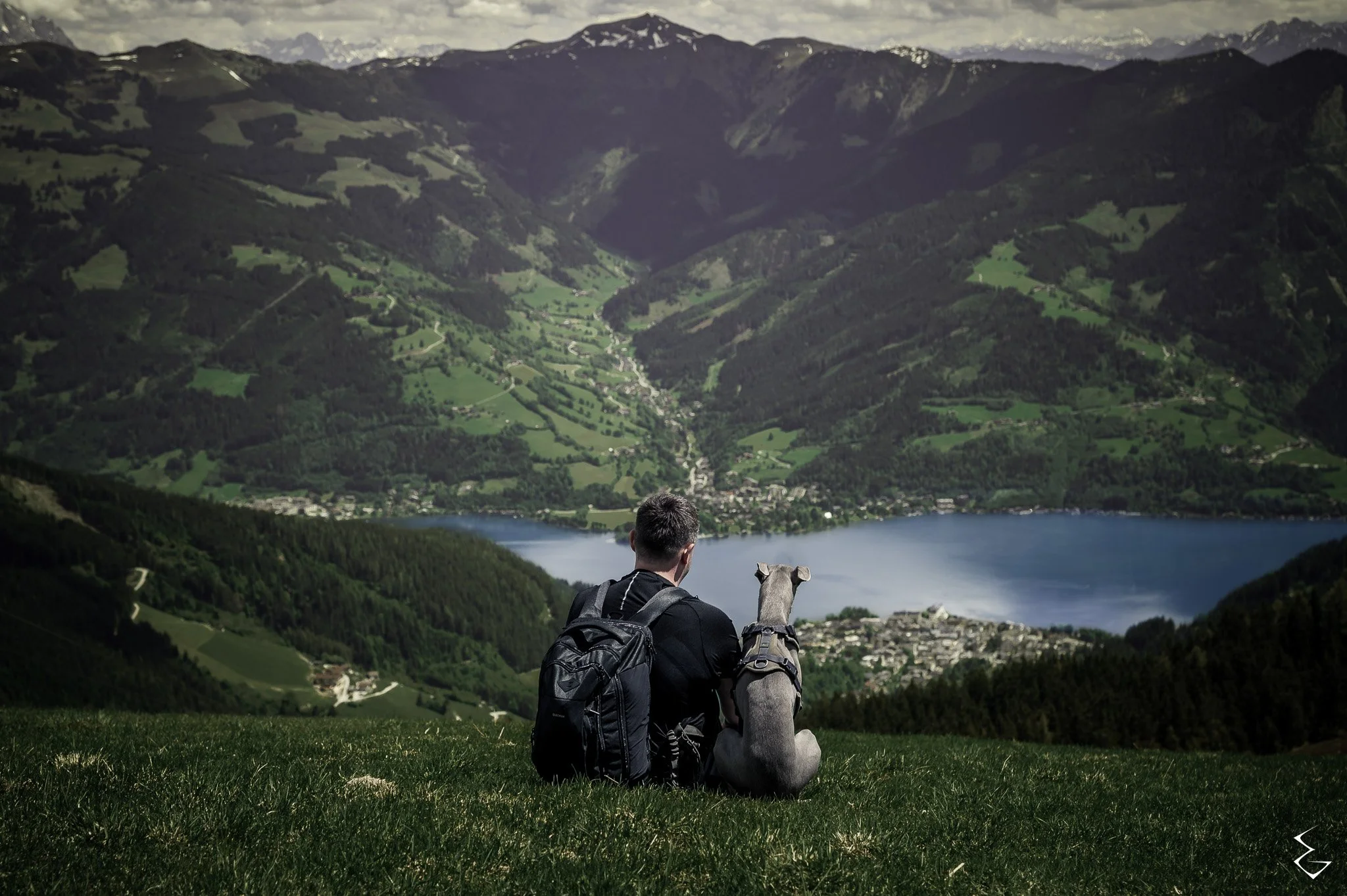
"Side by side. Nothing said."
Prologue
One cross on a map. That’s where this starts. Not the summit of Everest, not some romantic sunrise, just a mark and a decision: walk the spine of this country, climb its 1,227 recognised summits, and leave a record behind.
This isn’t a personal bucket list. It’s not about showing off. It’s about doing something brutally difficult, documenting it properly, and handing the results to anyone who needs them.
Why?
The hills don’t cure you, but they don’t lie either. Out here there’s no noise, no filters, no pretending. Just ground underfoot, weather overhead, and the choice to keep moving.
That’s what makes this worth it: because when you strip everything down to its bare bones, climbing a hill is simple, and that simplicity can save people. Veterans know that more than most. Many of them fought battles that don’t end when they come home. If this project can offer even one of them a path, a map, or a reason to keep going, then it matters.
So yes, I’ll be the one slogging through peat hags and scree. But the record isn’t mine. It belongs to everyone who ever needed proof that the hard thing can be done, one step at a time.
What’s Been Done So Far
Pulled every classification I could justify — Munros, Corbetts, Grahams, Donalds, Wainwrights, Hewitts.
Filtered them down into a definitive set: 1,227 summits.
Built the bones of a logistics map, ready to be filled in with real miles, real climbs, real scars.
That’s all. No grand plan, no calendar. Just a dataset and a promise:
I will climb them, and I will leave the record behind.

What comes next
Every summit gets a Field Note. A log others can actually use. Not just “look at me on a ridge,” but practical evidence:
GPX tracks you can download.
Honest notes on conditions, weather, access.
Photos that show the reality, not the highlight reel.
A written account of the trek in my own words - unfiltered.
When it’s finished, the archive will be there for anyone: from veterans looking for purpose, to newcomers testing themselves, to those who just need to know they’re not alone in the fight.
Closing Note
This is the start. 1,227 summits ahead. No fixed route, no safety net. Just a dataset, a rucksack, and the will to see it through.
The record will not be mine alone. It will belong to every veteran who carried weight heavier than this, every soul who needed the hills to keep going, every person who looks at a mountain and wonders if they can get to the top.
Start point marked. The march begins.