SG Field Notes is the photographic work of Steven Green - dark, cinematic animal portraiture from the field, focused on dogs, wildlife, and the human-animal bond.
MISSION
Objective: build a distinctive body of work in animal portraiture, dog photography, wildlife, and field-based storytelling.
Methodology: move often, observe properly, document honestly.
Standard: images with weight. Notes with purpose. Work that does not disappear into the noise.
SG Field Notes exists to record dogs, wildlife, wild places, and the work behind the frame.
No studio polish.
No staged perfection.
No copying the usual path.
Just field-made images, honest notes, and a long-term body of work built to be recognised.
Steven Green
Founder, SG Field Notes
ABOUT
SG FIELD NOTES is the work of Steven Green: photographer, observer, and owner of Otto, the hound behind half the miles and half the chaos.
The focus is dogs, wildlife, animal portraiture, and field-based storytelling. Work made outside: on hillsides, in woodland, across rough ground, and anywhere animals are best understood on their own terms.
This is not studio-led pet photography. It is not clean lifestyle content dressed up as adventure. It is portraiture built from fieldcraft, instinct, patience, and time on the ground.
The notes matter too. The conditions, the mistakes, the miles, the graft, and the odd lesson learned the hard way. SG Field Notes is not just the finished frame, it is the record of what went into making it.
The aim is clear: to build a distinctive body of work in animal portraiture and field photography, recognised for its honesty, discipline, and edge.
This is SG FIELD NOTES.
Animal portraits, Wild Places, Notes from the field.
PHOTOGRAPHY
Dogs. Wildlife. Animal portraits. Field-made images.
A selected body of work from SG Field Notes: animal portraits, wild places, and the moments that usually disappear before most people see them.
Organised by ongoing series, each one part of the wider photographic practice of Steven Green.
Core series:
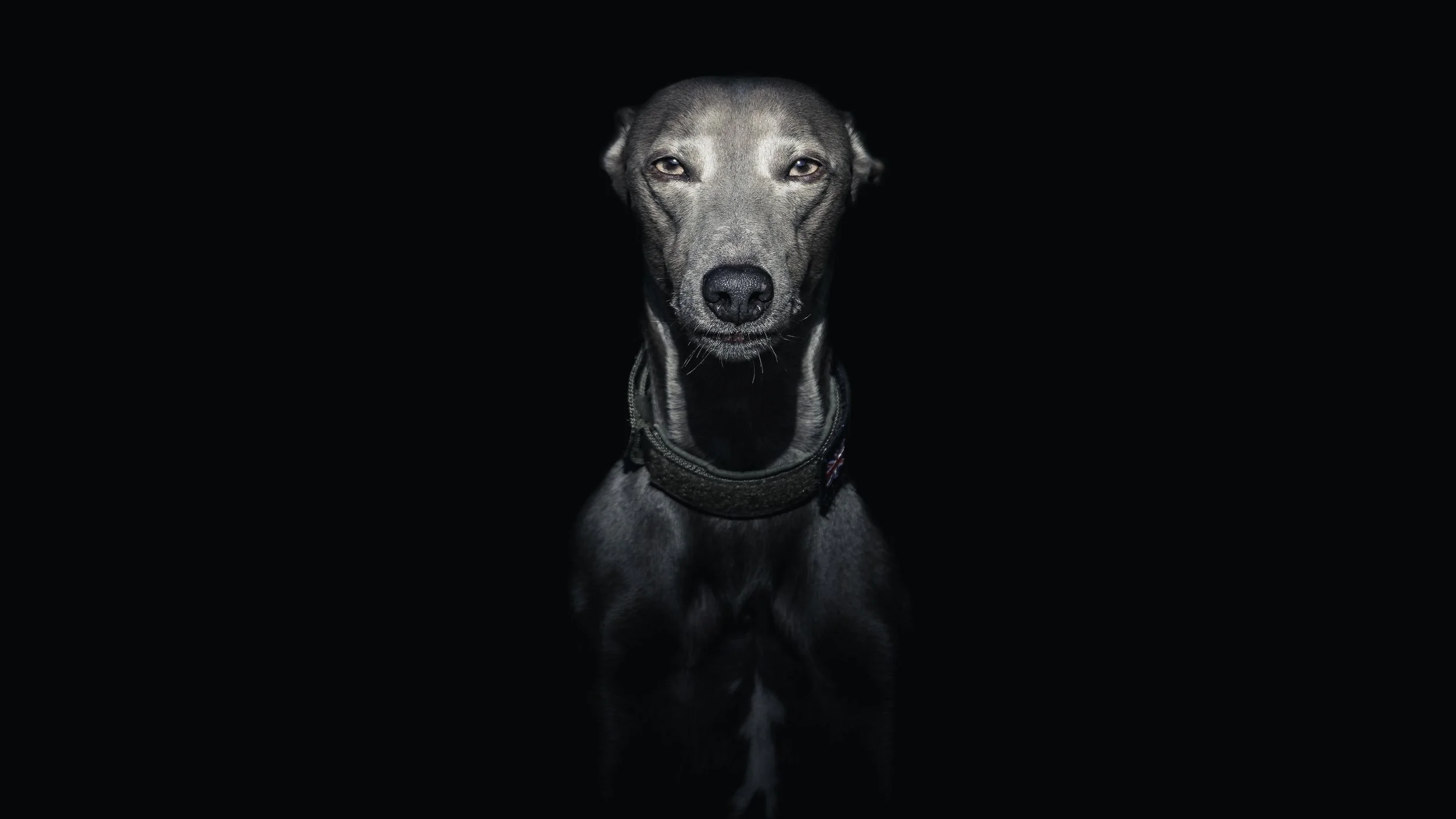
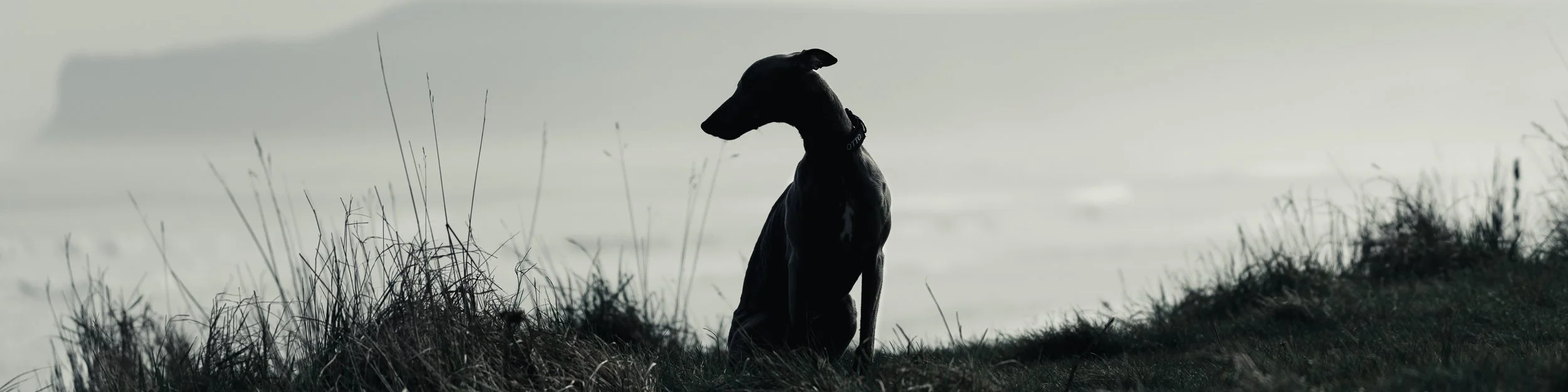
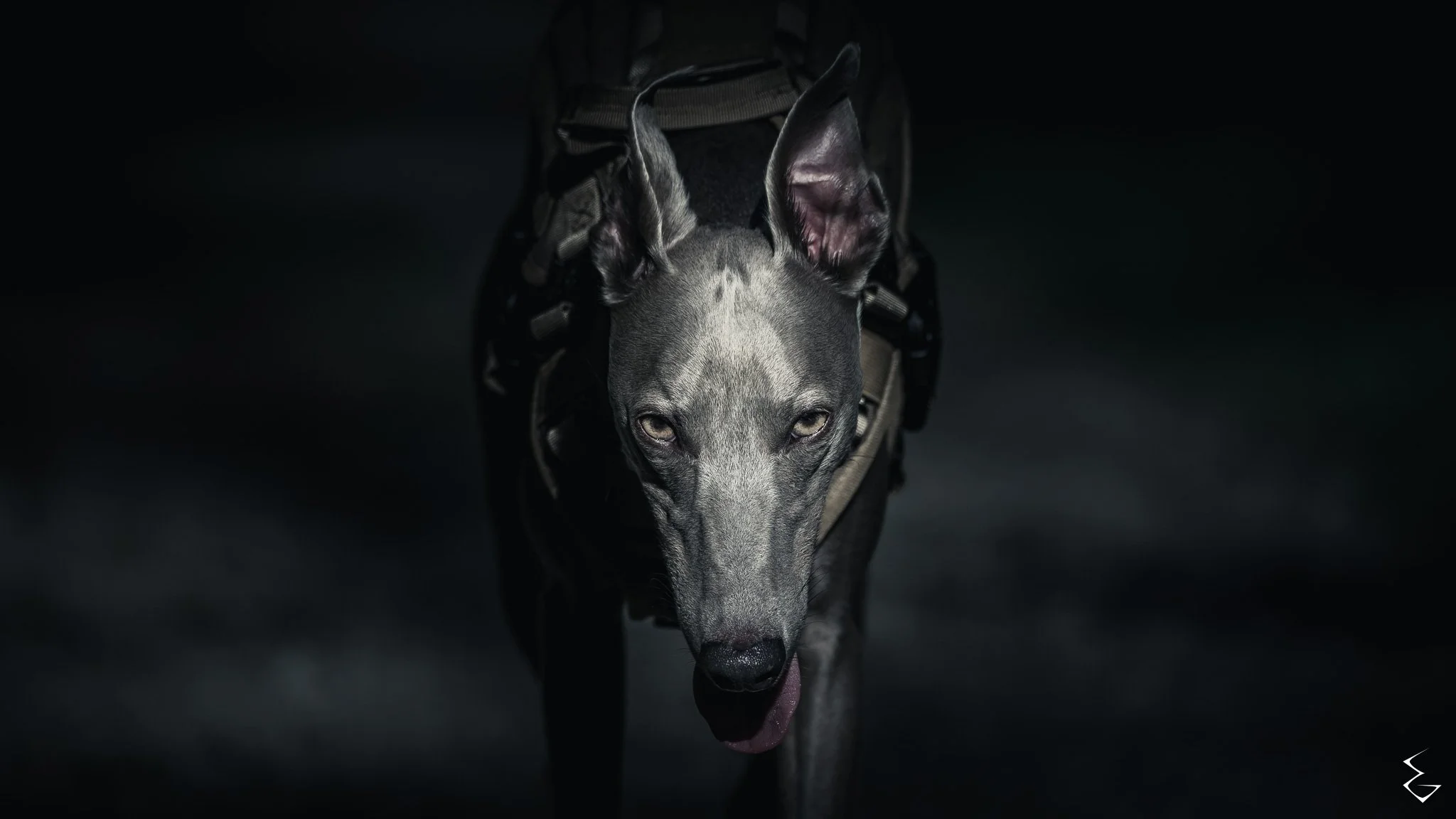
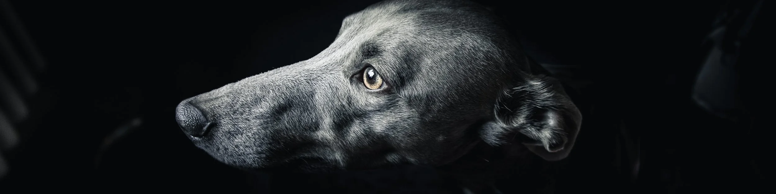
CANIS OBSCURA (Dogs) — Dogs, captured in stillness.
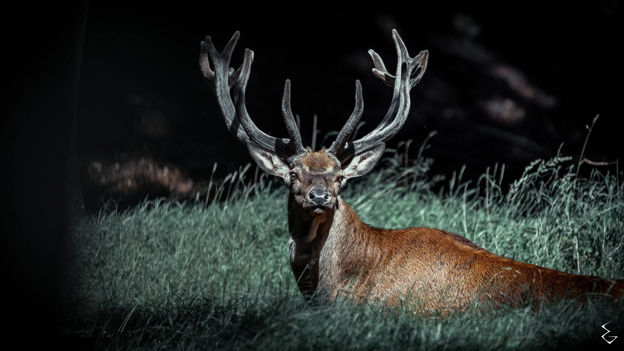
UMBRA BESTIAE (Wildlife) — Wildlife in shadow and light.
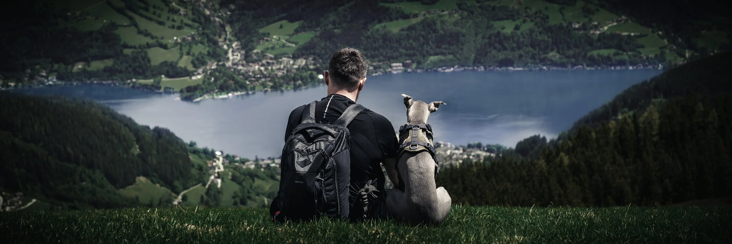
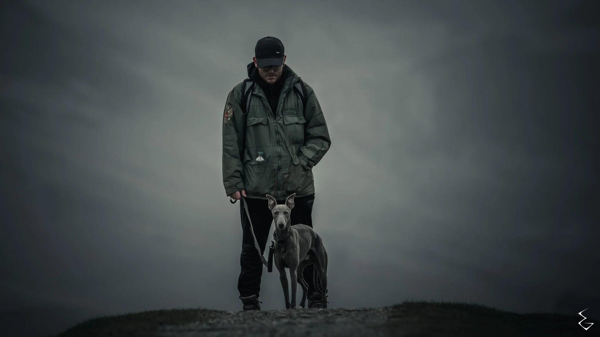
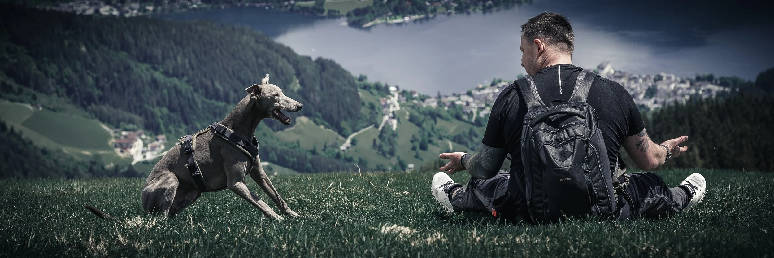
FIELD RITUAL (Fieldwork) — Man, hound, and field work.
CORPUS INSECTUM (Macro) — Up close and unfamiliar.
Personal series:
VELUM BELLUM (Conflict aftermath) — Places, remnants, and memory from war-marked ground.
THE FAMILIAR WILD
/ðə fəˈmɪl.jə waɪld/
“Shadow carved in fur. The hunter before the howl.”
(From the Canis Obscura series)
UMBRA
/ˈʌm.brə/
“The eyes that see before sound breaks. Sovereign of the silence.”
(From the Umbra Bestiae series)
FIELD RITUAL I
/ˈfiːld ˈrɪ.tju.əl wʌn/
"Two forms, bound by instinct. Alone but never separate."
(From the Field Ritual series)

THREADWATCHER
/θrɛd ˈwɒ.tʃə/
“It watches in stillness. The predator smaller than breath.”
(From the Corpus Insectum series)

WAYCLEAR
/ˈweɪ.klɪə/
"One path forward. No promise of return."
(From the Velum Bellum series)
FIELD NOTES
The record behind the work.
Notes from shoots, routes, animals, mistakes, fieldcraft, and the miles that lead to the frame.
-
SG Field Notes starts here: a field-based photography brand built around dogs, wildlife, animal portraits, and the work behind the frame.
This first note gives ground detail: what the work is, how the series fit together, and why the notes matter alongside the images.
No grand launch.
No polished speech.
Start point marked.Read FIELD NOTE 000 here →
View all field notes →
CONTACT
For commissions, collaborations, licensing, editorial work, brand projects, dog photography, or print enquiries, contact Steven Green at SG Field Notes.
Available for:
Dog photography
Wildlife and animal portraiture
Commercial and brand projects
Editorial / licensing
Prints and selected collaborations
Based in the United Kingdom. Created in the North.